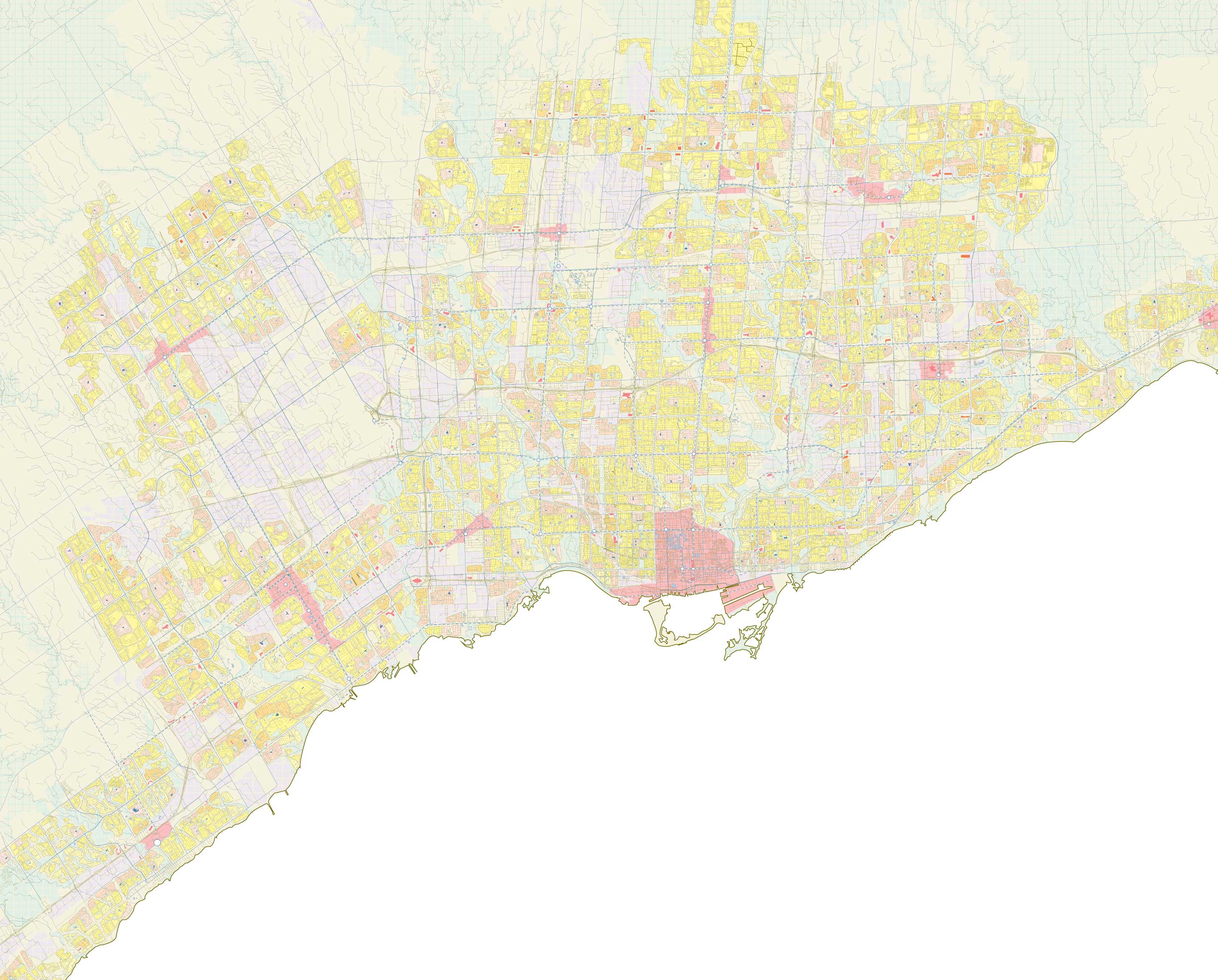
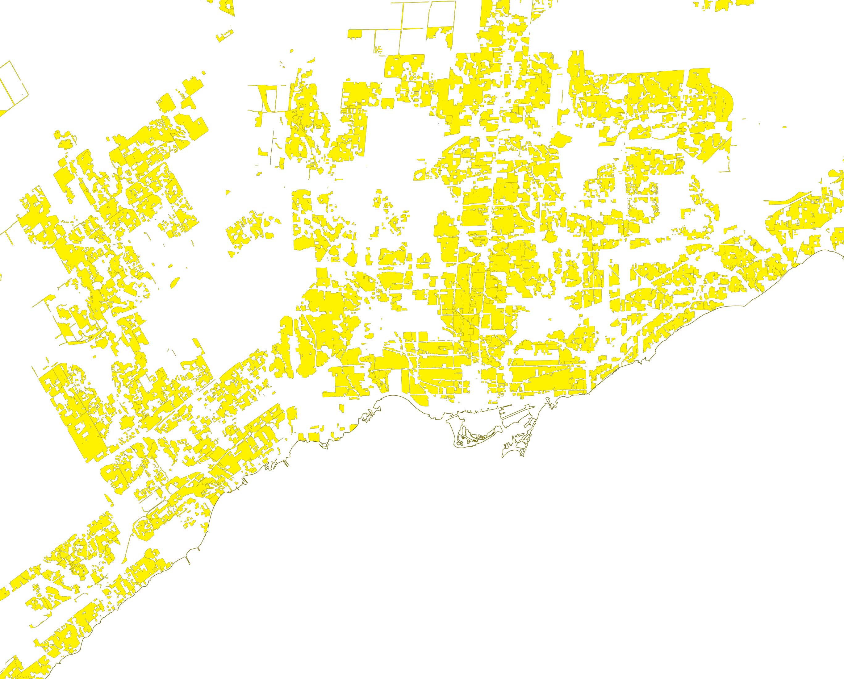
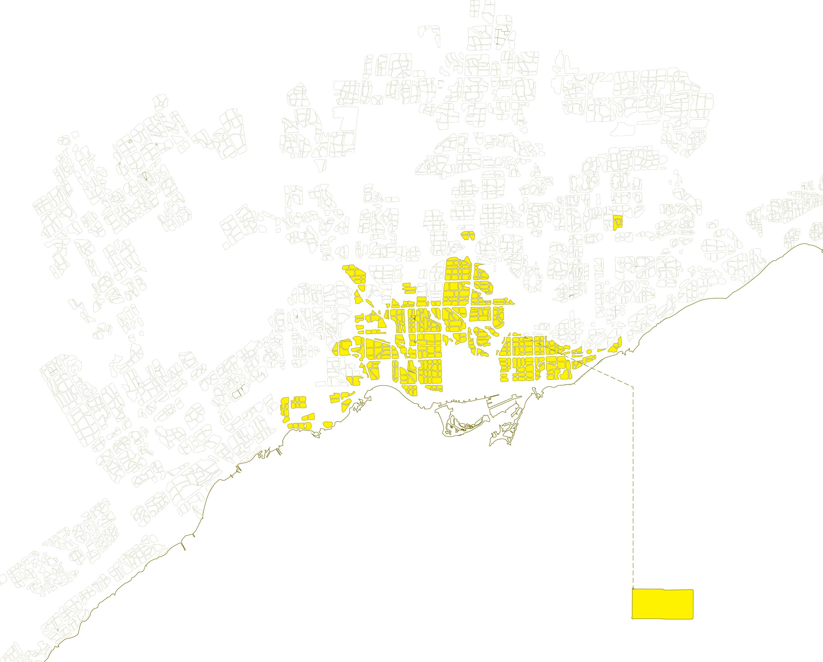
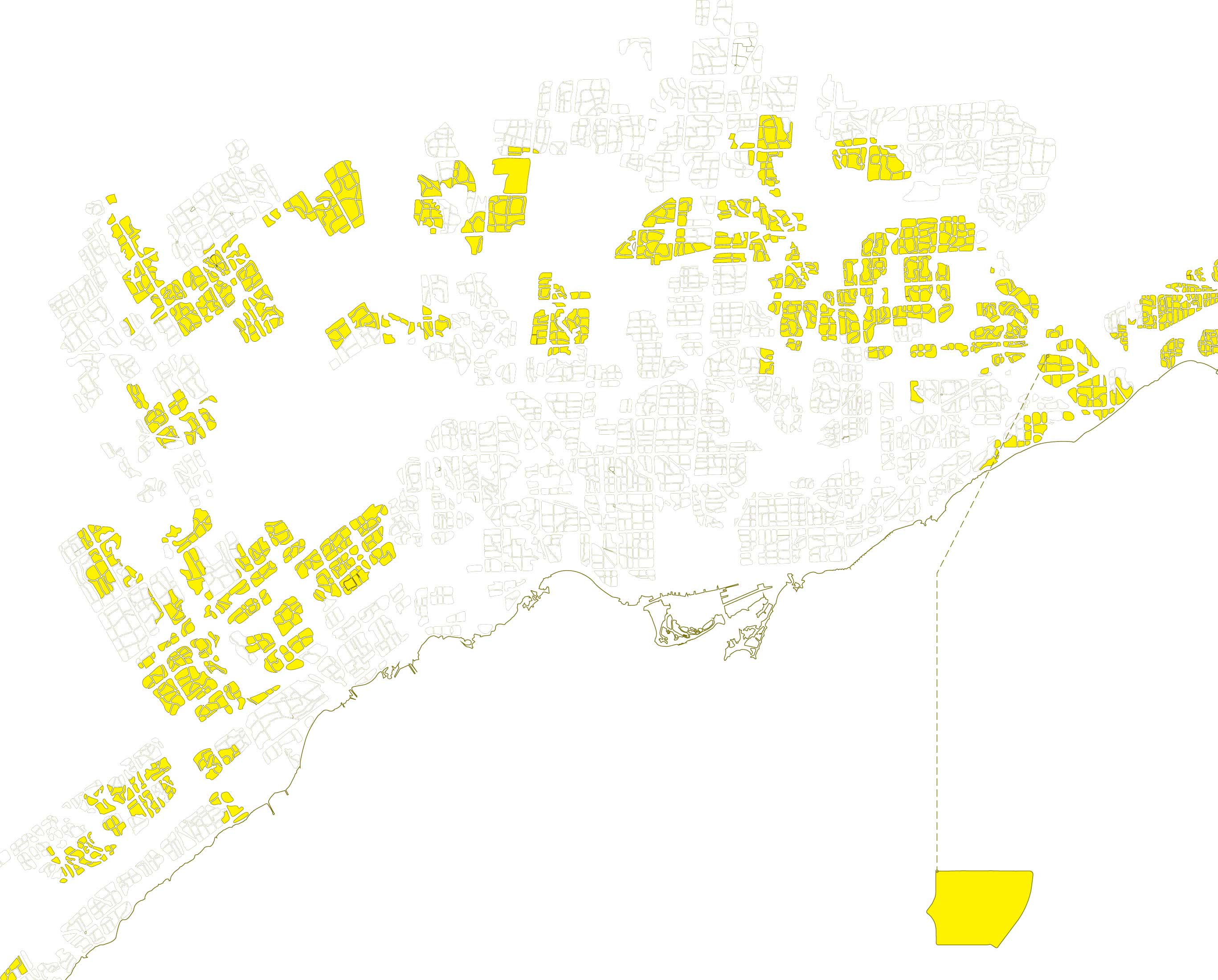
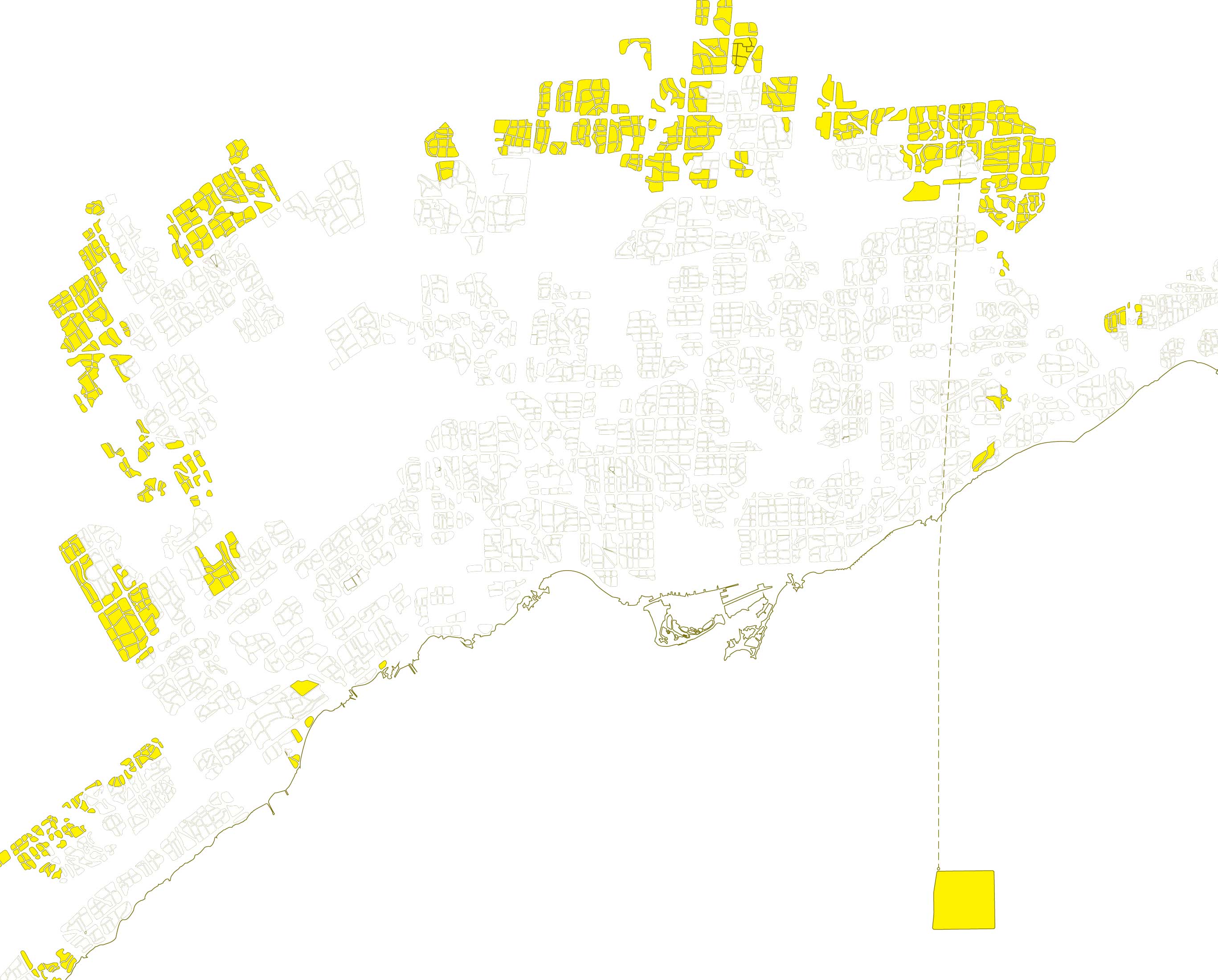
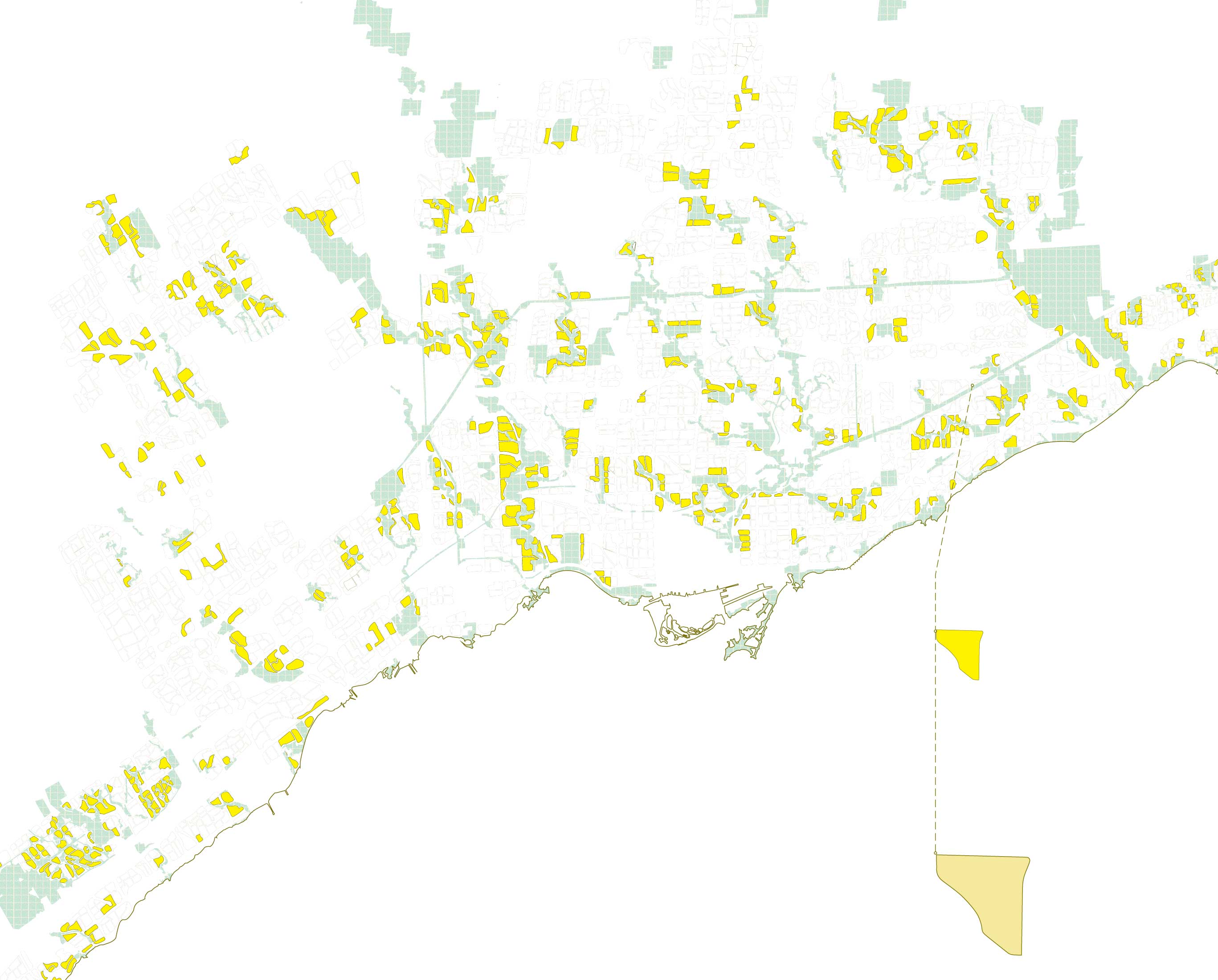
These are zoning areas for single family homes in Toronto, also known as the yellowbelt. They appear sprawled and unstructured.
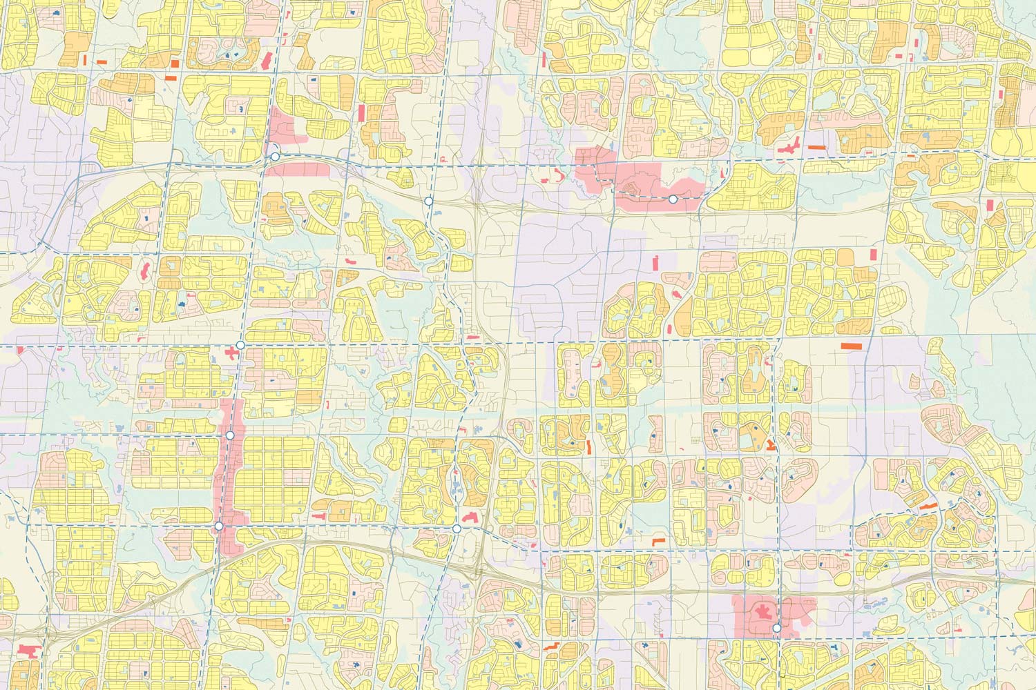
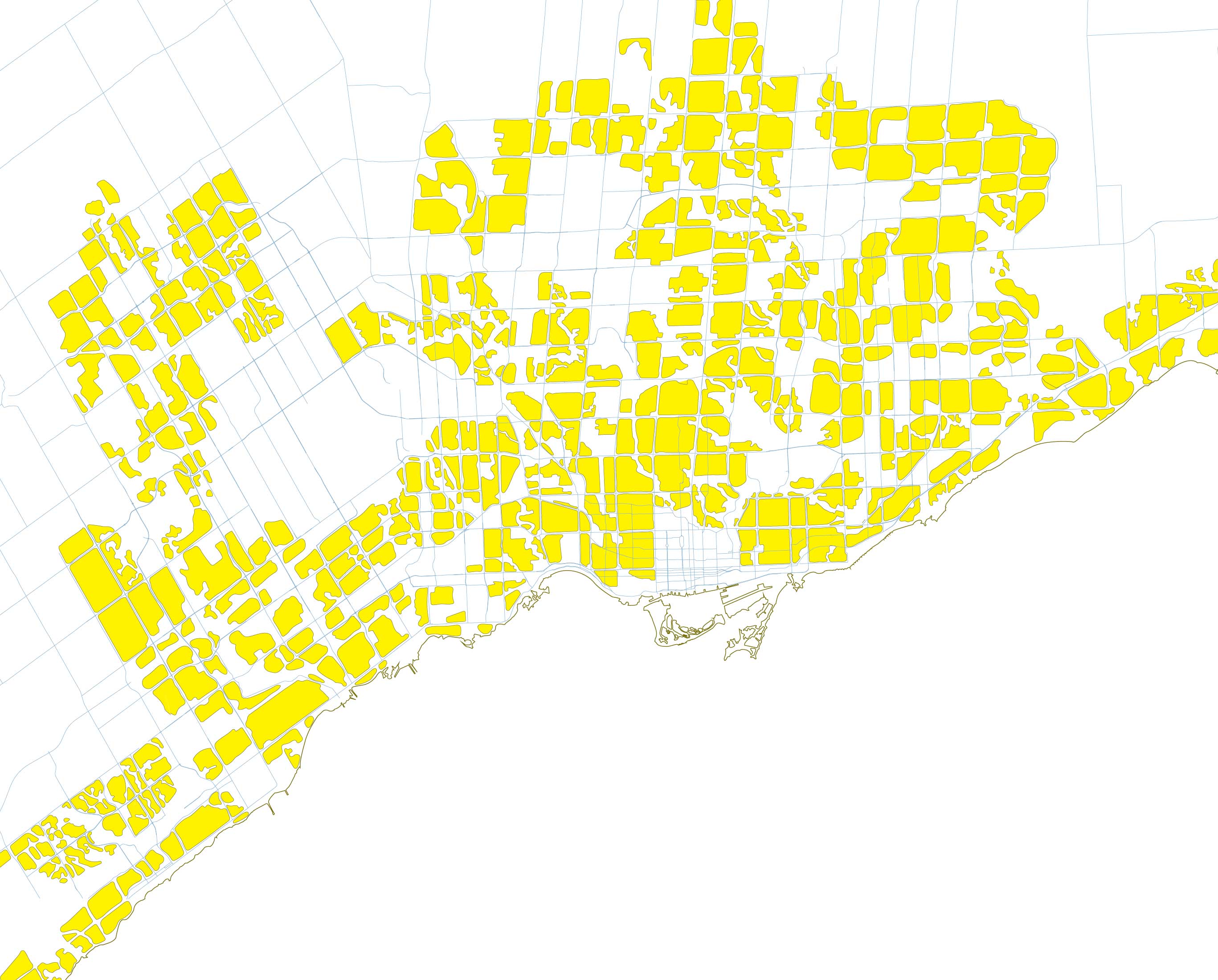
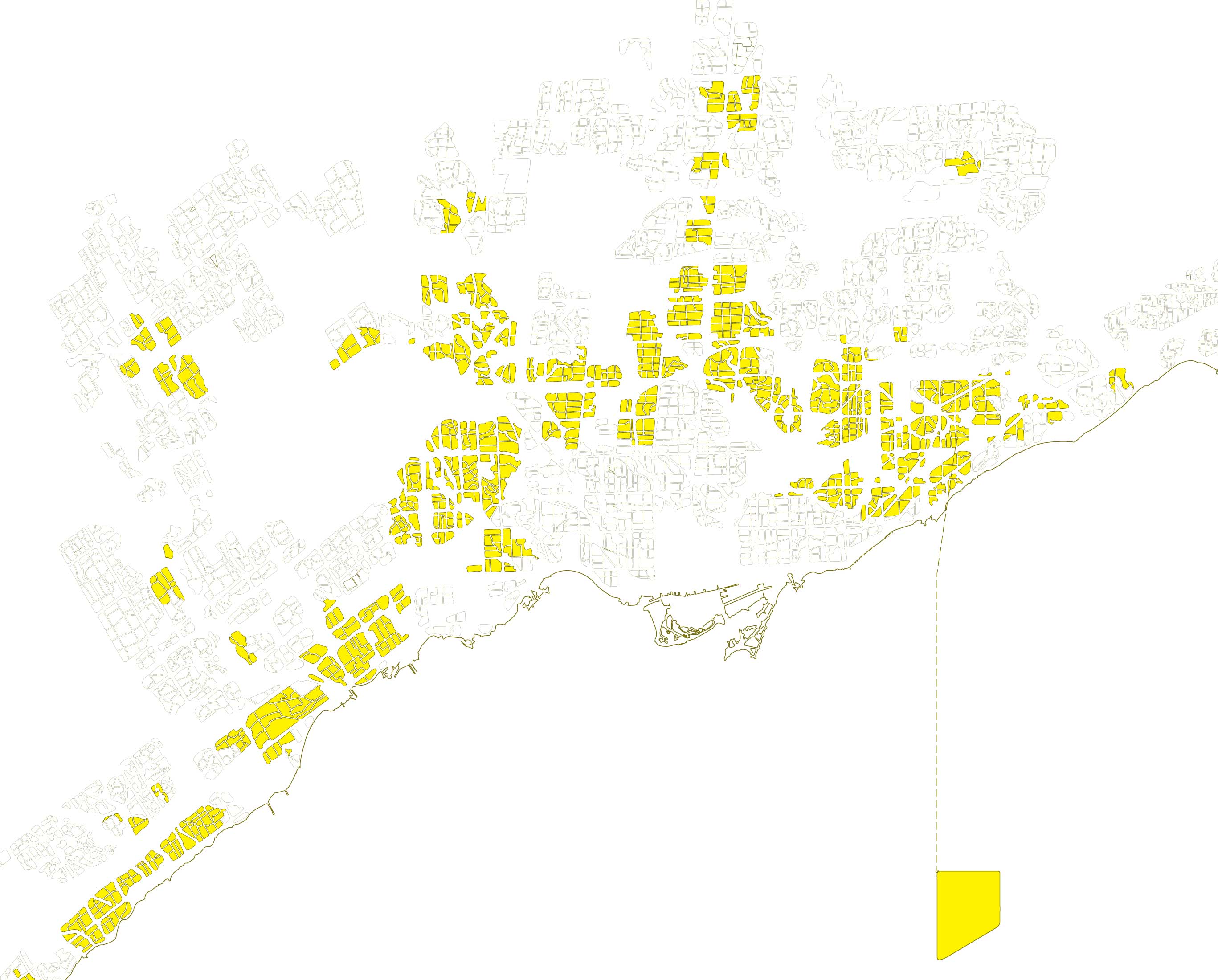
This map divides the yellowbelt into subdivisions along major arterial roads.
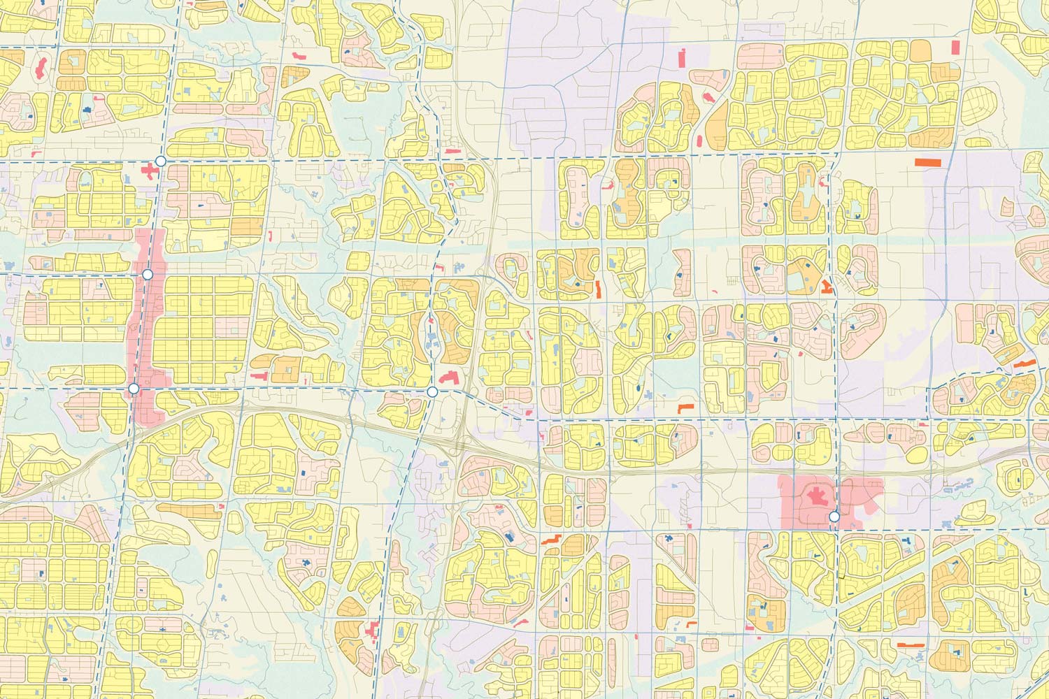
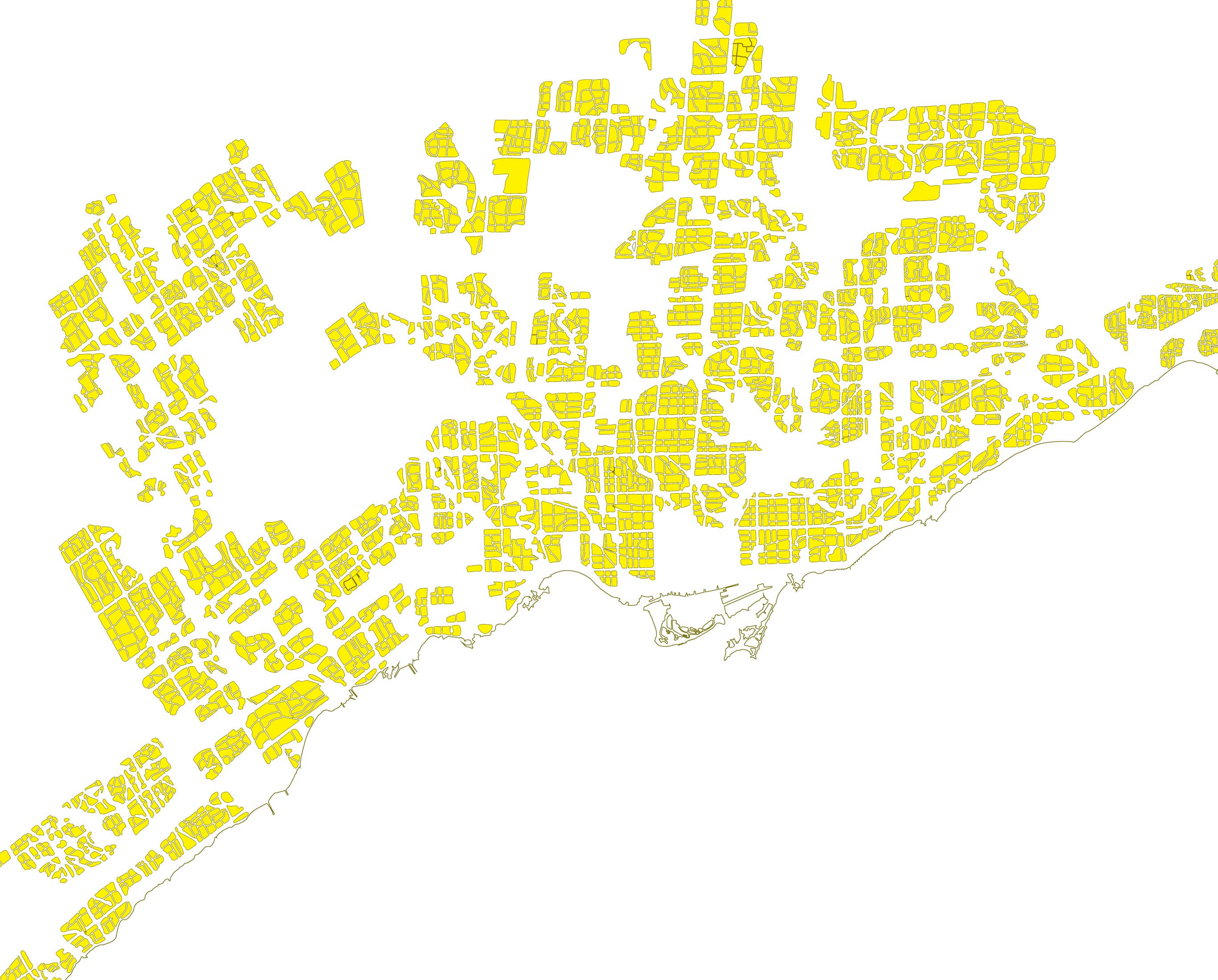
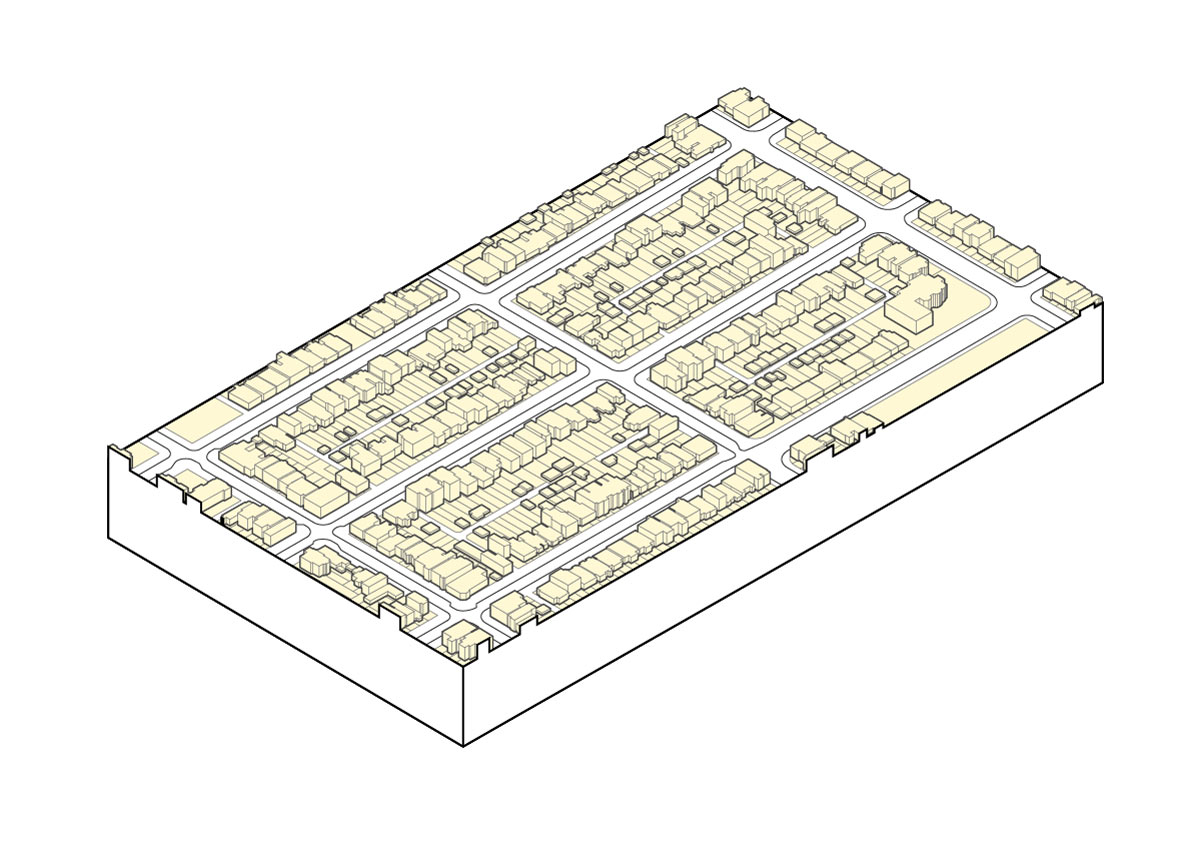
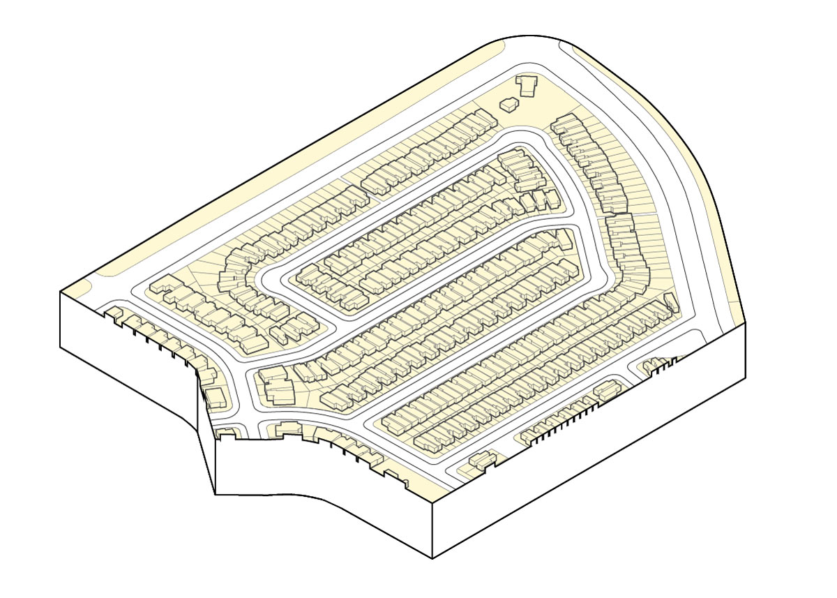
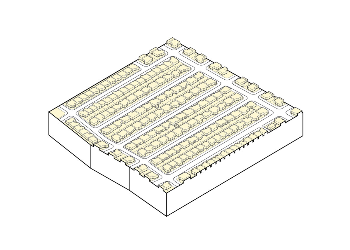
This map divides subdivisions into blocks along collector roads.
Blocks Built before 1941:

Blocks built between 1941 and 1965:
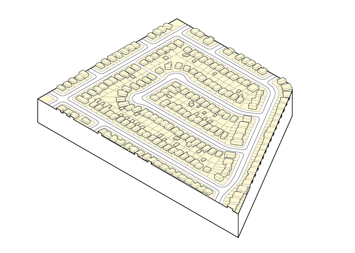

Blocks built between 1965 - 1990

Blocks built between 1990 - 2018

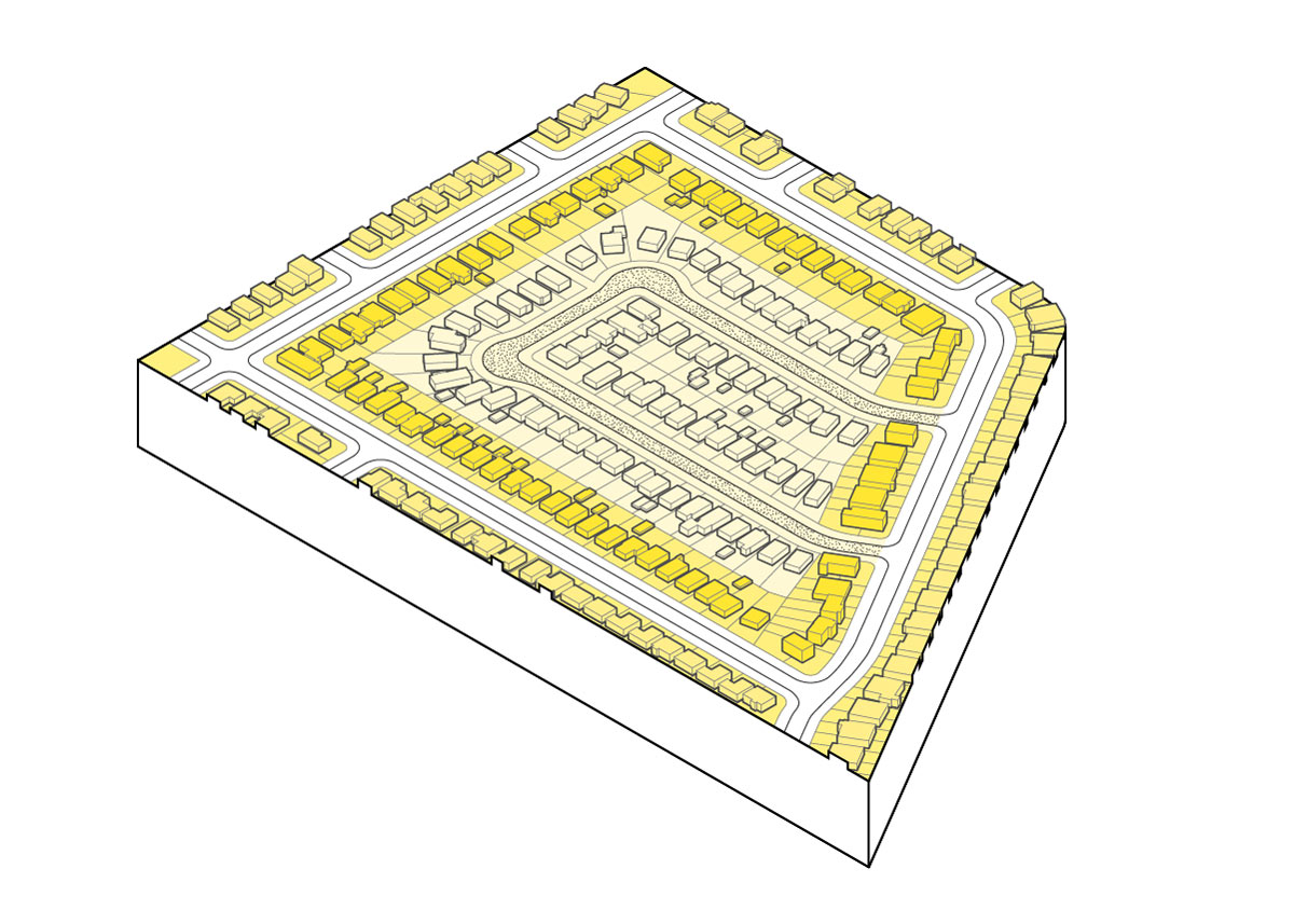
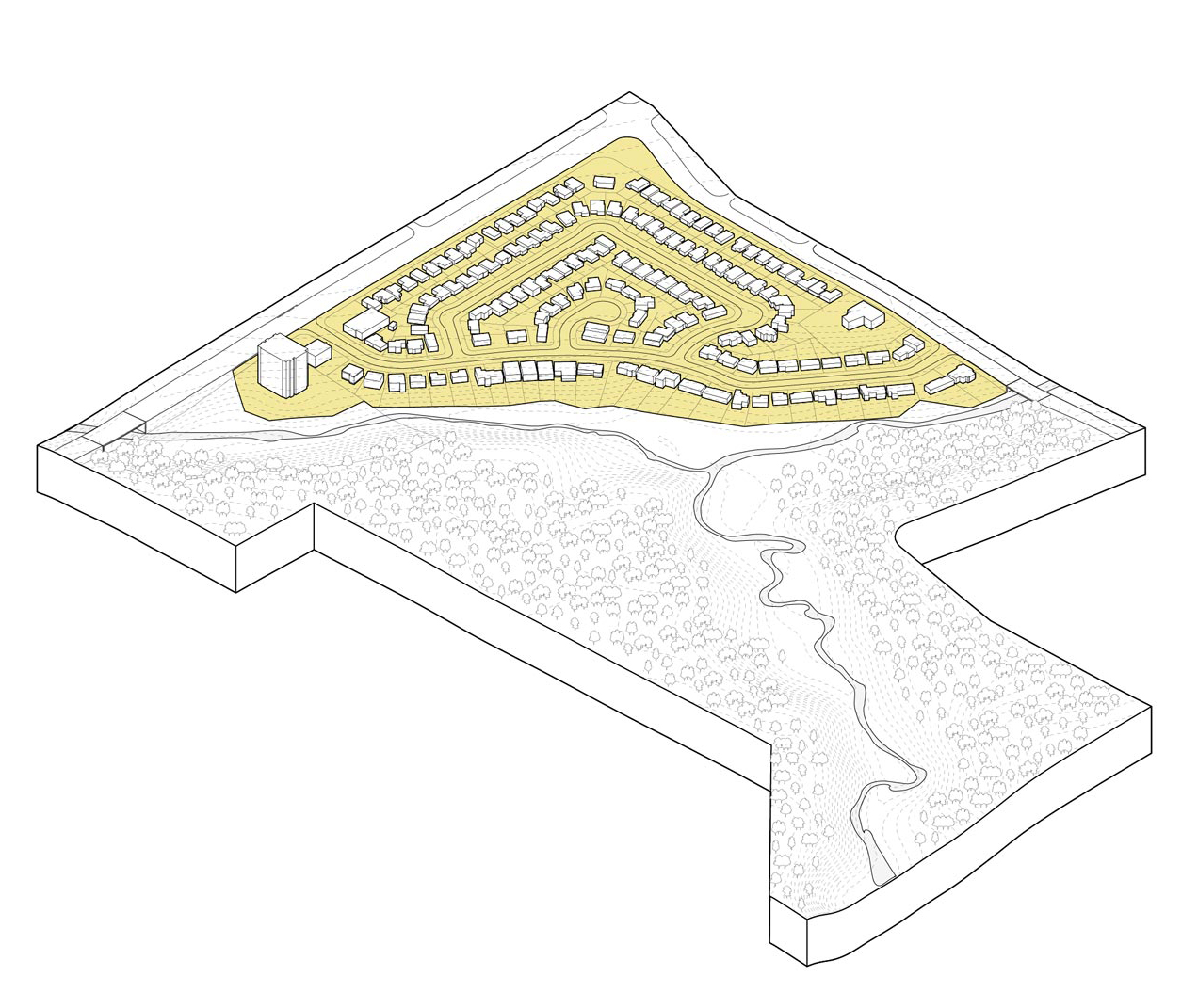
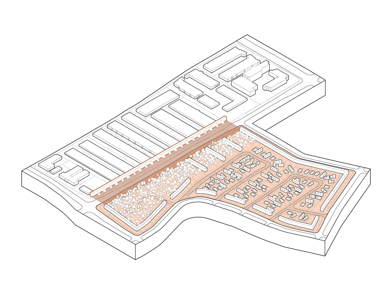
Blocks adjacent to ravines:

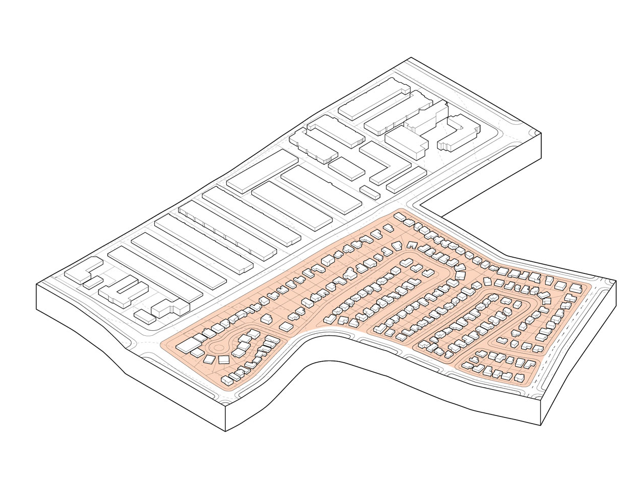
Blocks adjacent to industrial areas:

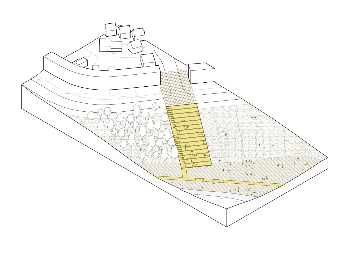
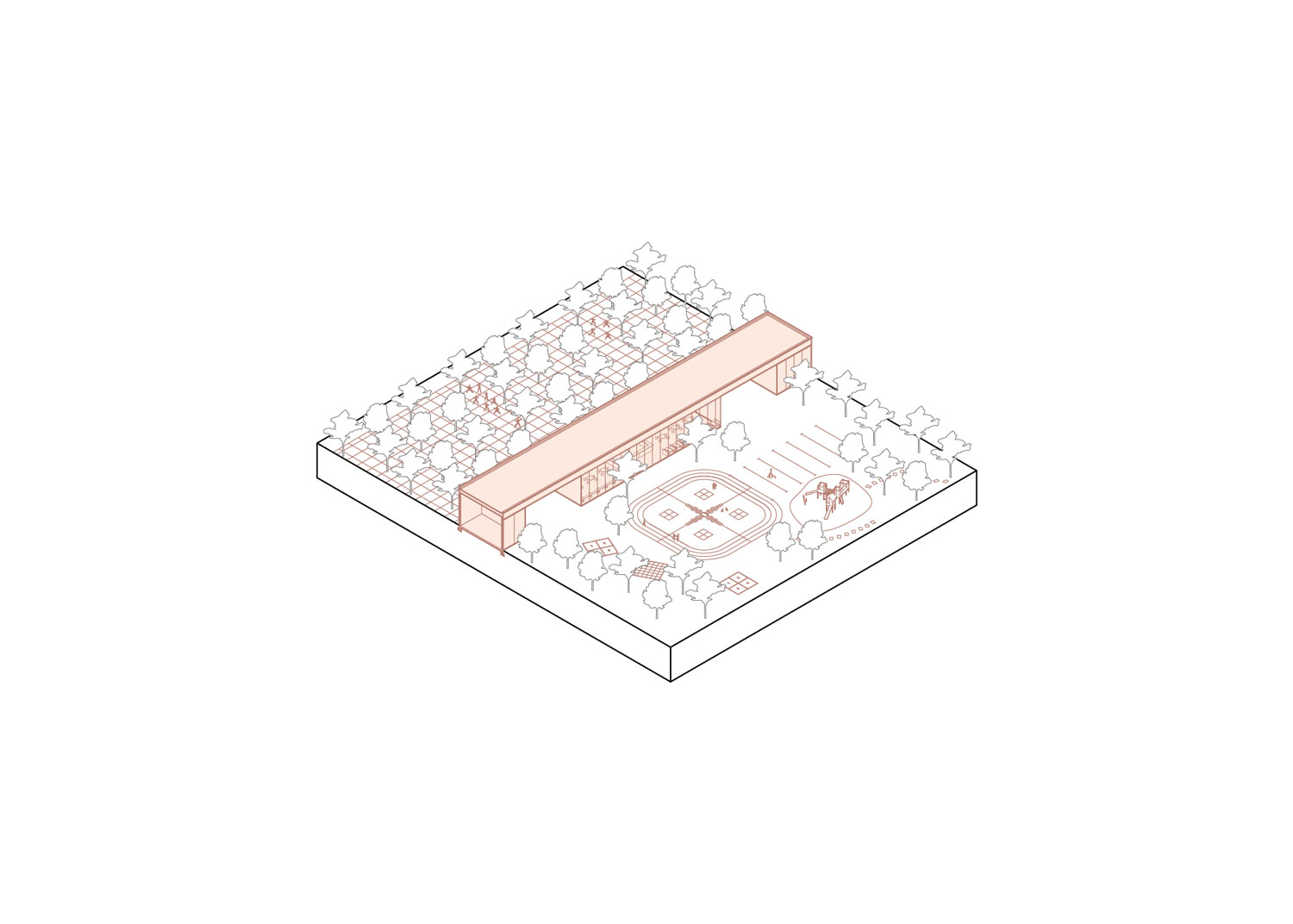
Blocks adjacent to schools:

Blocks adjacent to malls:

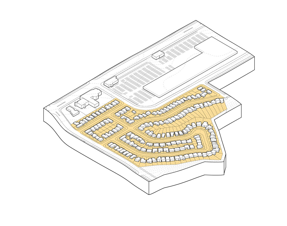

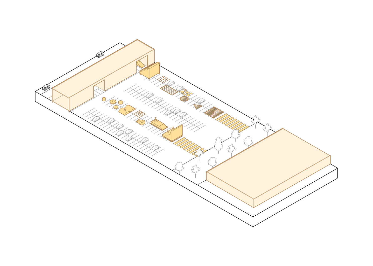
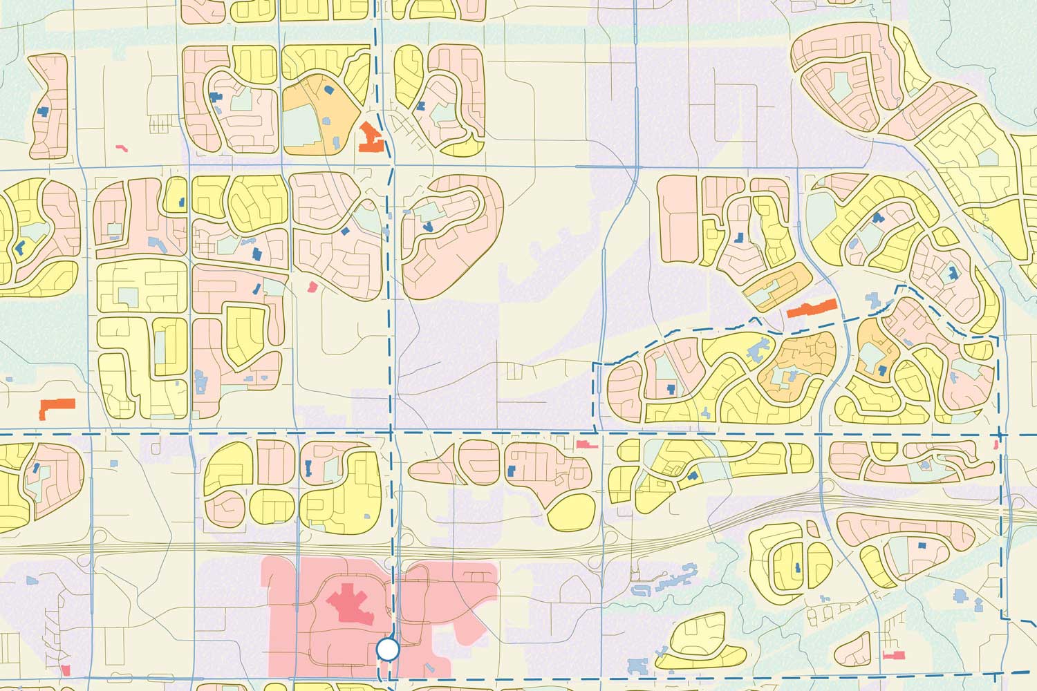
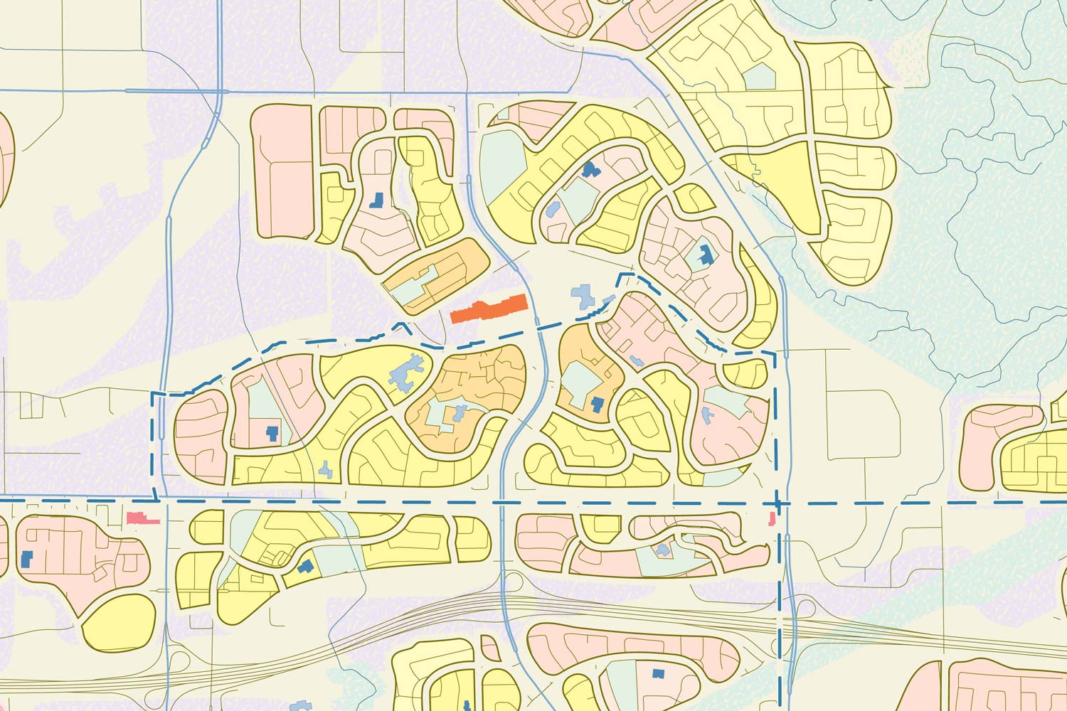
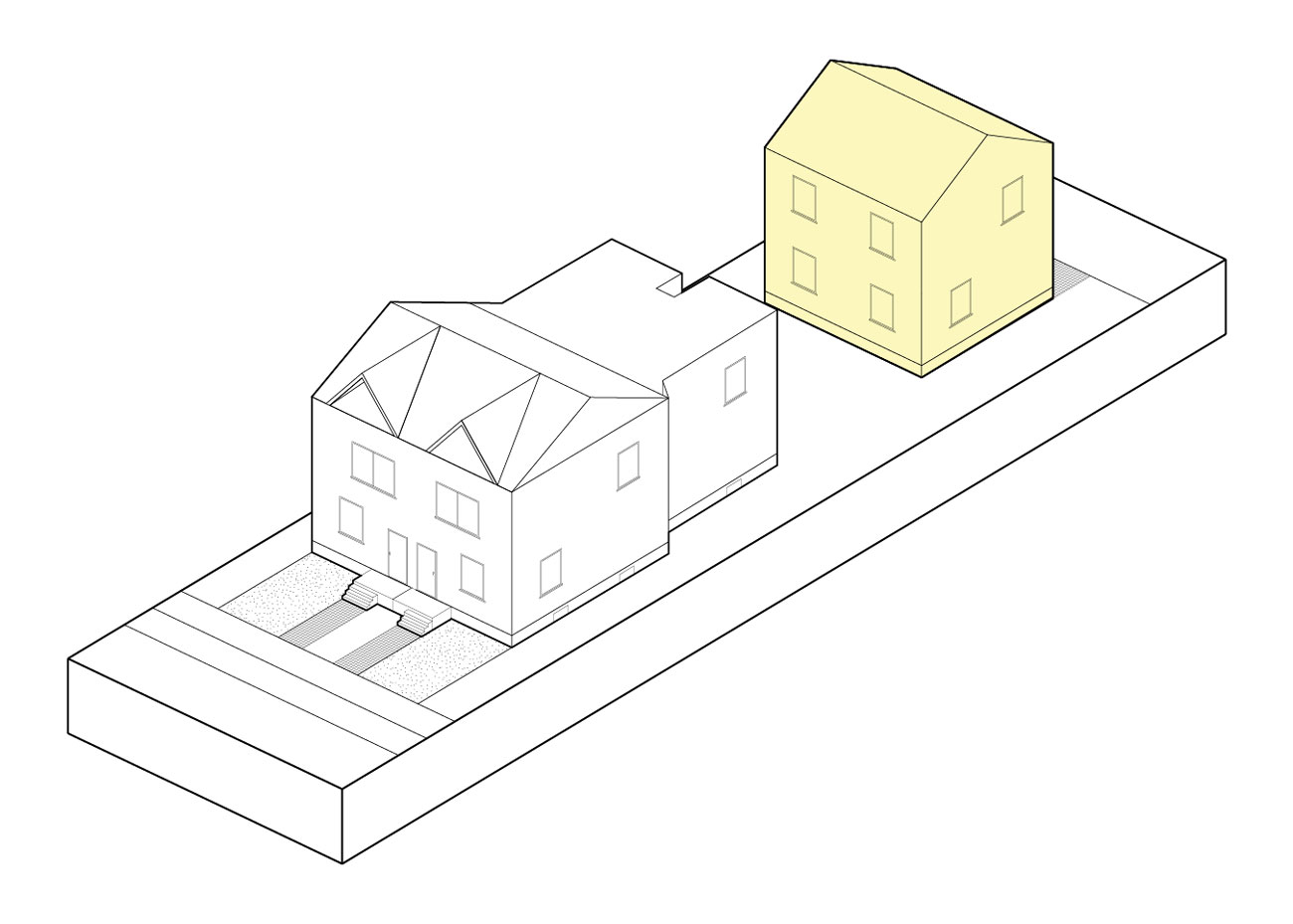
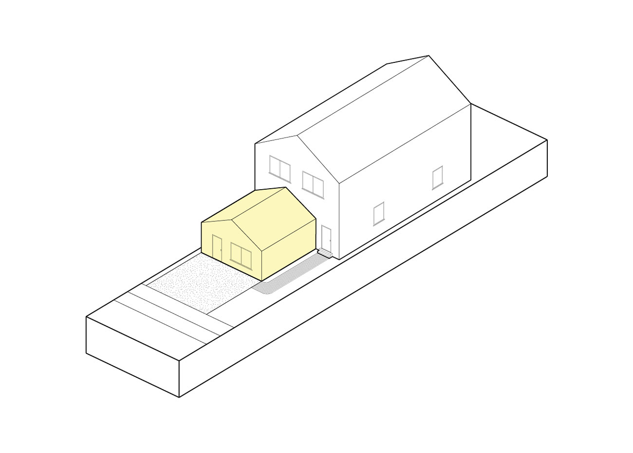
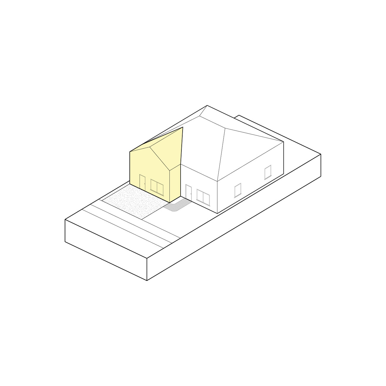
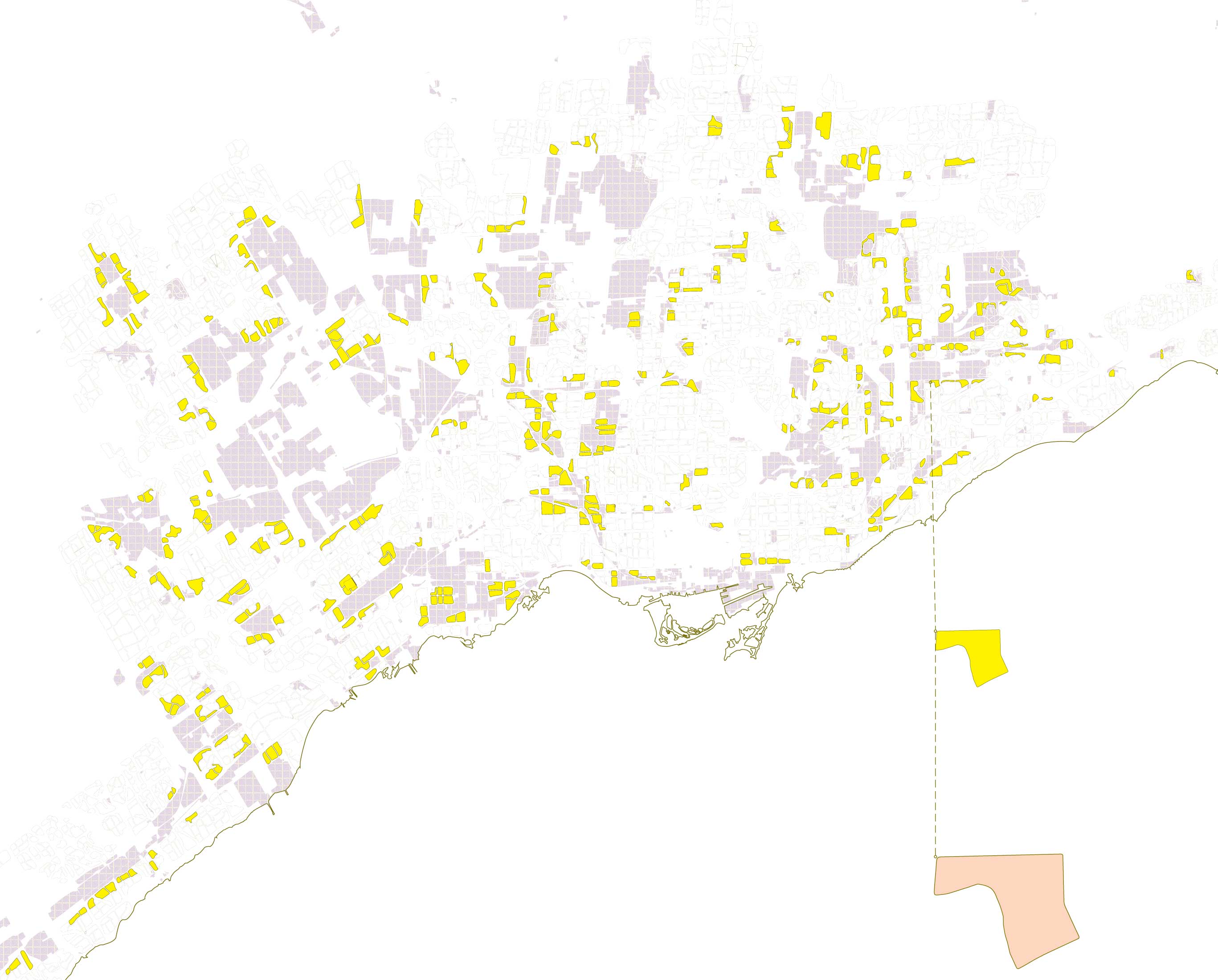
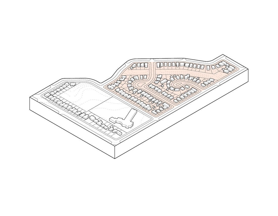
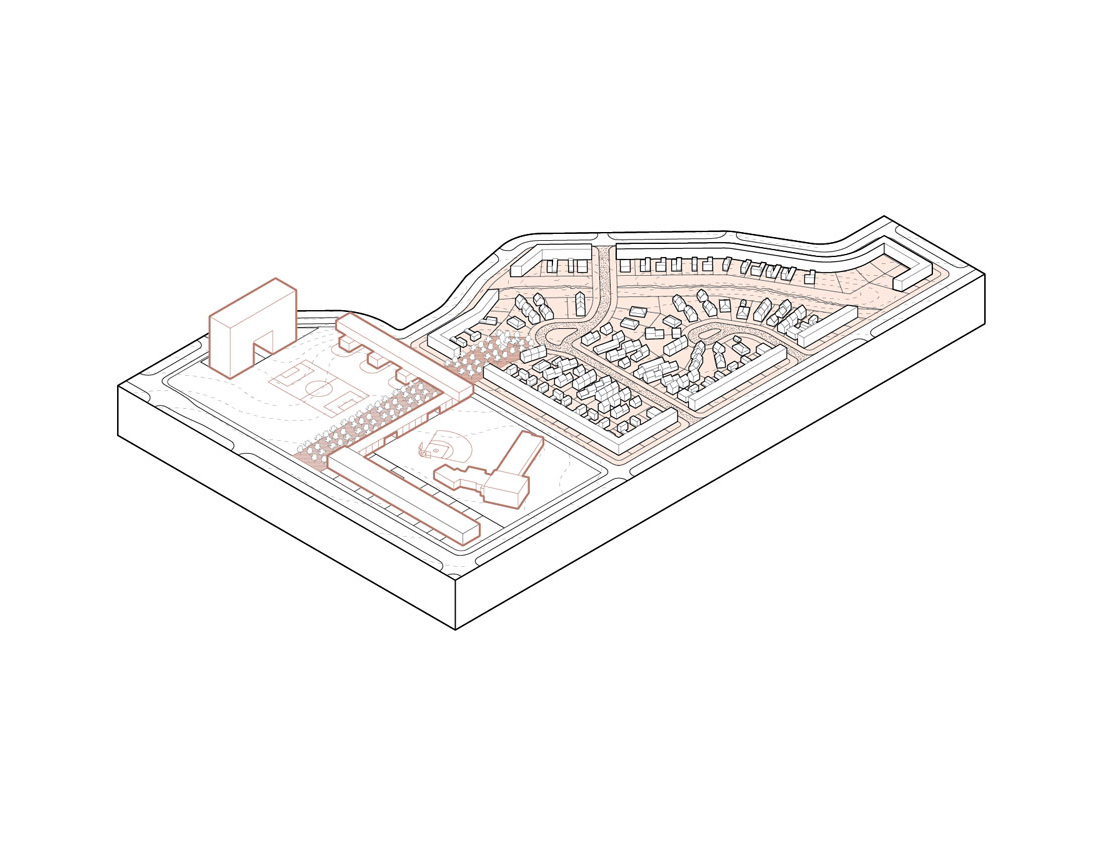
Maps below show a rezoning of the yellowbelt, considering the differences in block form, building type, and landscape adjcency.